Gold Springs 1, Nevada
Gold Springs 1 comprises twenty-three (23) unpatented mining claims covering a contiguous land package in Township 1 North, Range 71 East, Mount Diablo Meridian.
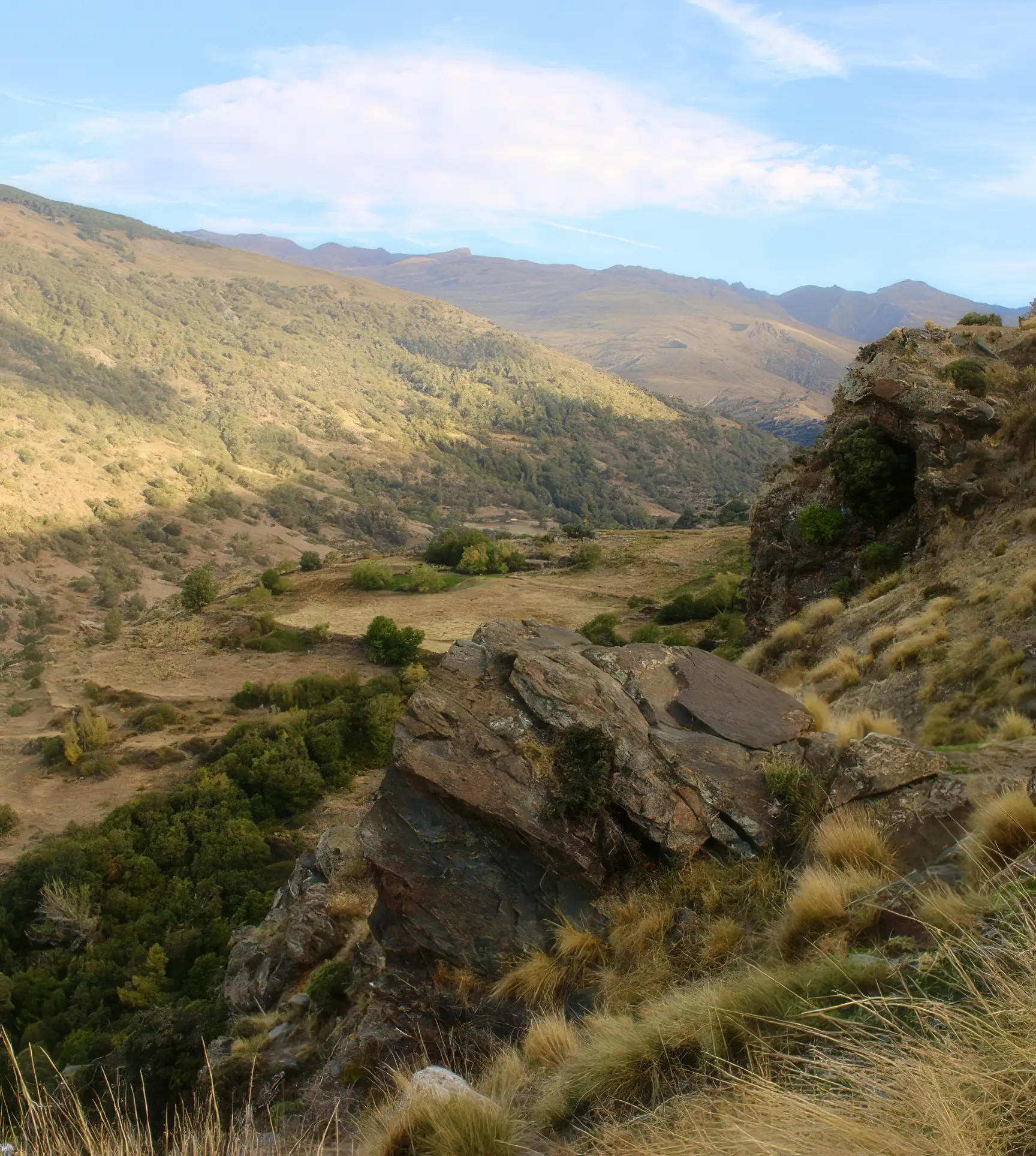
Location: The Gold Springs 1 Property is located in the Stateline (Eagle Valley) Mining District, Lincoln County, Nevada, USA, approximately 40 km east of Pioche near the Nevada-Utah state line.
Geology & Mineralization: Gold Springs 1 comprises twenty-three (23) unpatented mining claims covering a contiguous land package in Township 1 North, Range 71 East, Mount Diablo Meridian. The district recorded roughly US$400,000 in historical gold-silver production from 1896 into the 1930s, including high-grade silver from the principal vein system on the claim block.1 Two principal NE-striking, W-dipping fault-controlled zones are recognized: the Tempa-Helen vein system and the Miramonte zone. These structures exhibit extensive silicification with quartz-adularia-calcite veining and classic low-sulfidation epithermal gold-silver mineralization. The Tempa vein averages 2-10 m in width and is traceable for >1.6 km along strike with ~250 m of vertical exposure. Gold Summit Corp. reported assays up to 517 g/t Ag and 4.2 g/t Au.2 The Miramonte zone, ~650 m east of Tempa, extends ~1.2 km through silicified outcrops, pits, and an adit; early chip sampling reported 0.9 m @ 40 g/t Au from a quartz vein, indicative of geochemical similarities to upper levels of the Tempa system.3
Regional Context: The Property forms part of the broader Gold Springs 1 epithermal trend along the Nevada-Utah border. Mineralization is controlled by Basin-and-Range extensional faults and ring-fracture zones related to Miocene-age caldera complexes. Host rocks include andesite, latite, and rhyolitic tuffs with pervasive silicification and clay (argillic) alteration. Drilling and mapping across adjacent parts of the trend have outlined mineralized corridors up to ~150 m true width with >8 km strike lengths, supporting potential for near-surface, bulk-tonnage mineralization with localized high-grade shoots.
Historical Data Disclaimer (NI 43-101/BCSC): The information regarding past exploration work, sampling, and assay results on the Property is historical in nature. Supreme has not independently verified the historical data disclosed herein. Although the Company and its Qualified Person consider the information to be relevant, it does not conform to current National Instrument 43-101 standards and should not be relied upon. Additional work-including drilling, sampling, and independent verification by a Qualified Person, will be required to confirm the presence of mineralization and to bring any historical estimates into compliance with current reporting standards.
Citations for historical data have been included to comply with NI 43-101 s. 3.5. Sources comprise archival and publicly available government and corporate records as noted. The Company and its Qualified Person have not verified these results, and they should not be relied upon except as indicators of the presence of mineralization requiring further exploration.